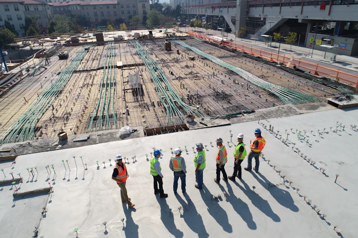
Aerial capability. Public purpose.
Connect staff capability, mapping and aerial data to a defined departmental need. Establish the objectives, information handling and delivery criteria before the project begins.
Government & public-sector teams
Build capability around a public purpose
Connect departmental objectives with useful aerial information and practical staff development.
Project planning
Define the coverage, deliverables and acceptance criteria needed for a clear procurement brief.
Spatial information
Support site documentation, mapping and location-based review with agreed data outputs.
Staff development
Build understanding through drone assembly, GIS and mapping training suited to the team.
Potential project deliverables
Give your team information it can use.
Project specification
A clear description of outputs, delivery arrangements and evaluation criteria.
Department-ready data
Agreed files with contextual notes and handling requirements.
Training proposal
Learning objectives, participant requirements and dual-certification details.
Start the conversation
What would help your team move forward?
Share the operational question and the information you already have. A focused brief helps us propose a useful next step.
- Departmental objective and procurement needsInclude the details relevant to your site or team.
- Required information outputs and handling rulesInclude the details relevant to your site or team.
- Participant profile for any training requirementInclude the details relevant to your site or team.

Develop staff capability
SkyJaya is an MOF-registered supplier and SSM-registered company. Explore practical programmes with SkyJaya-issued dual certification from India and Malaysia.
Explore Corporate TrainingExplore an application for your organisation.
Share your site context, priorities and preferred reporting or learning outcome.
Industries