
Technology & data
From aerial capture to useful information.
Technology creates value when its outputs help your team move forward. Connect the capture brief, data preparation and handover around one clear operational purpose.
One connected workflow
Make each stage serve the decision.
Capture with purpose
Define the site, coverage, required observation and operating conditions before selecting the capture method.
Process and review
Organise the information, check its quality and prepare files suited to the agreed use.
Deliver and explain
Present the results with the context, quality notes and specialist review requirements your team needs.
An example in practice
From site photographs to a progress discussion.
A construction monitoring workflow can connect aerial capture with a dated visual record for project review.
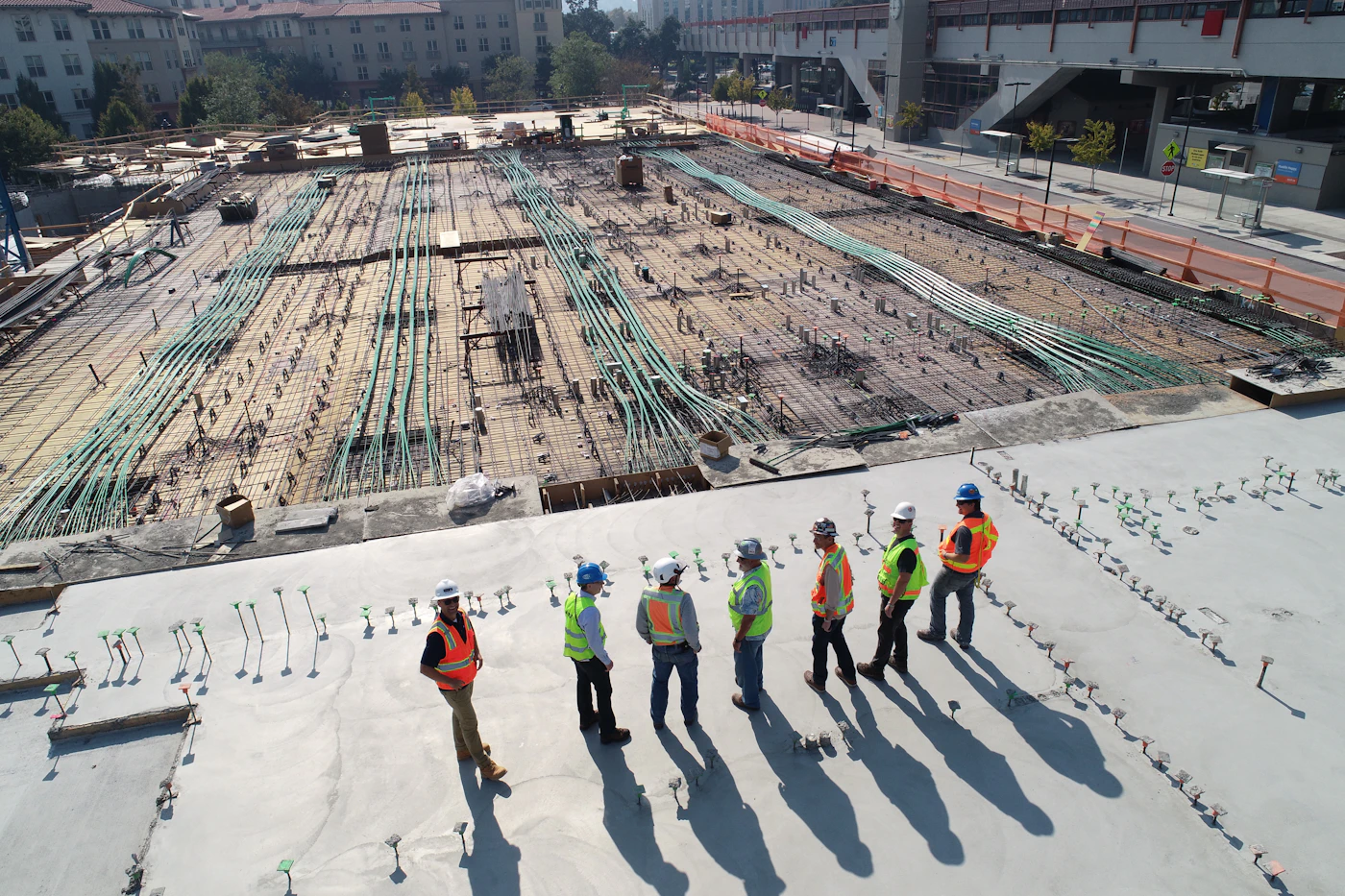
Collect a consistent site record
Capture agreed views and coverage, with dates and location information.
Prepare the comparison
Organise imagery or mapping outputs around the reporting period and relevant work areas.
Highlight points for review
Annotate visible changes and identify items the project team needs to assess.
Support the project meeting
Hand over the visual record with contextual notes for the people coordinating the next activities.
Choose the method for the task
The output guides the technology.

Visual and thermal imagery
Match the sensor and capture conditions to the observations your technical reviewers require.
Plantation digital twin development
Explore the connection between your data sources.
Start with a focused pilot that links a selected estate question to available data and a clear validation plan.
The initiative is under development. Pilot findings guide the next stage of data preparation, workflow design and evaluation.
A useful pilot starts with
One operational question
Choose a task worth testing.
Traceable data
Review maps, identifiers and dated field observations.
Agreed evaluation
Define what the prototype must demonstrate.