Drone services & training
Turn aerial insight into action.
Drone services, geospatial insights and professional training to help organisations make informed decisions and people develop valuable technical skills.
SSM-Registered Company
SkyJaya Drone Sdn. Bhd.
MOF-Registered Supplier
Ministry of Finance, Malaysia
HRD Corp Claimable Programmes
Available for eligible employer training

Why SkyJaya
Clear objectives. A useful way forward.
Connect the right service or learning pathway with what you want to achieve.
Connected capabilities
Bring aerial operations, geospatial information and technical learning into one coordinated conversation.
Clear deliverables
Understand what your project will produce and how the outputs can support your team’s decisions.
Skills with practical purpose
Develop technical understanding through guided exercises connected to useful workplace tasks.

Enterprise solutions
Drone services builtaround your objectives.
Explore mapping, inspection and monitoring services for your sites, assets and operations.

Agriculture intelligence
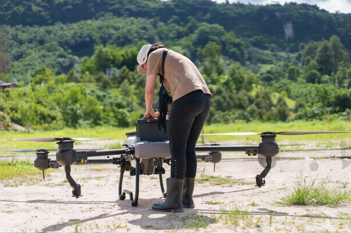
See crop and estate conditions in context, identify areas for closer assessment and plan the next field visit.
Explore service
Mapping & geospatial
Bring site imagery, maps and structured geospatial outputs into one practical reporting workflow.
Explore service
Industrial inspection
Capture a clearer view of difficult-to-access assets and organise observations for technical review.
Explore service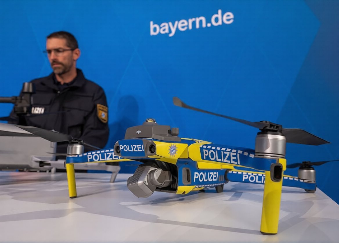
Monitoring & surveillance
Plan repeatable site observations, documented patrol coverage and clearer operational reporting.
Explore service
Professional training
Build expertise. Put it to work.
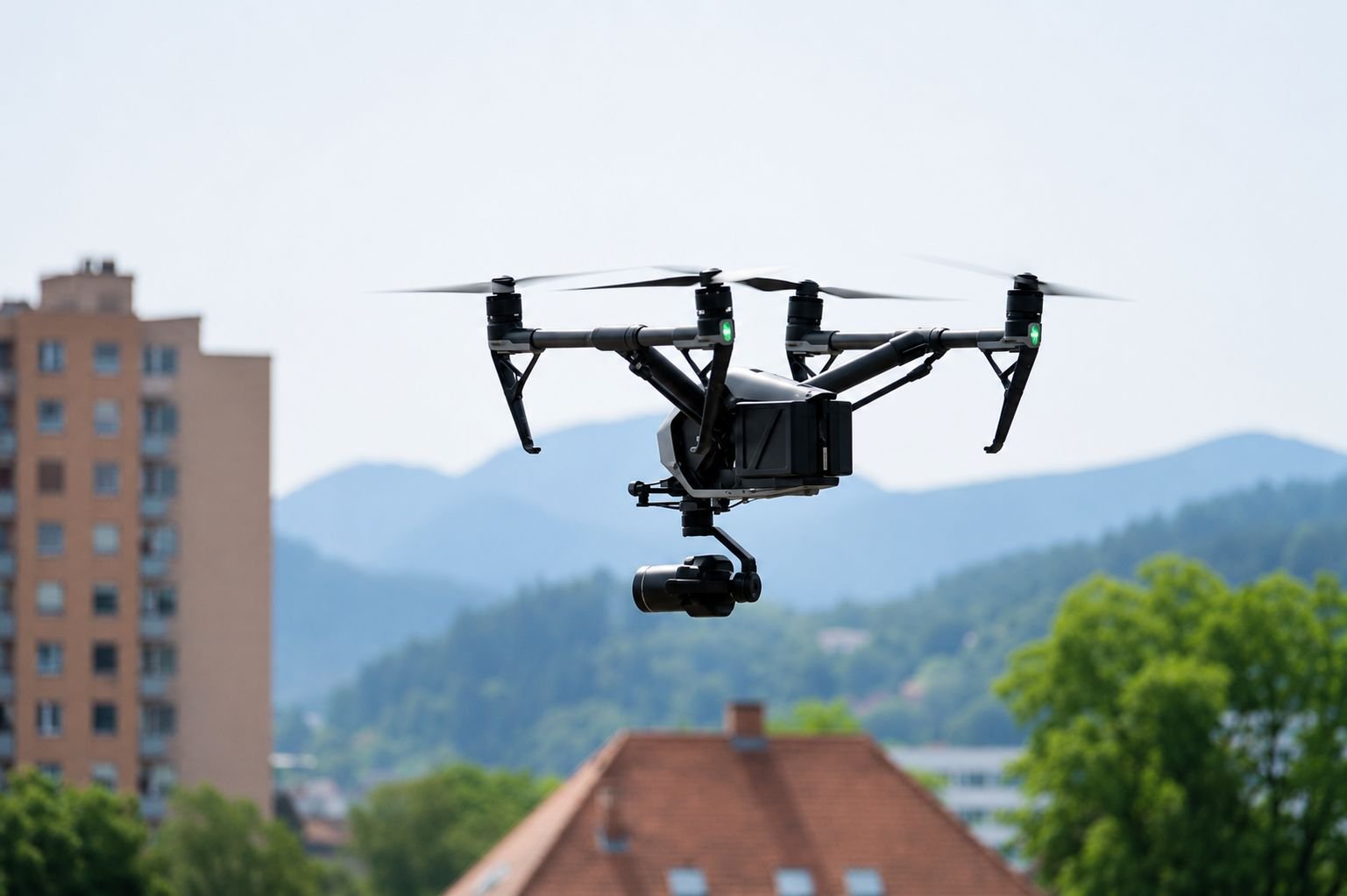
Develop your capabilities in drone assembly, GIS analysis and aerial mapping through structured learning and guided practice.
All SkyJaya training programmes include dual certification issued by SkyJaya in India and Malaysia upon successful completion of the programme requirements.


Knowledge & guidance
Start witha better question.

Ready to move forward?
Let’s move your next idea forward.
Share your project objective or learning goal. We’ll help you explore a suitable next step.