
Agriculture intelligence
See crop and estate conditions in context, identify areas for closer assessment and plan the next field visit.
Explore service

Drone solutions
Whether you need a clearer view of an asset, better site information or a consistent way to monitor change, start with the result your team needs.
Explore our services
Choose a service to explore its applications, potential deliverables and project requirements.
See crop and estate conditions in context, identify areas for closer assessment and plan the next field visit.
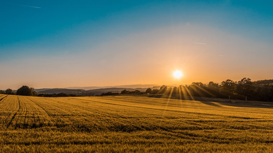
Bring site imagery, maps and structured geospatial outputs into one practical reporting workflow.
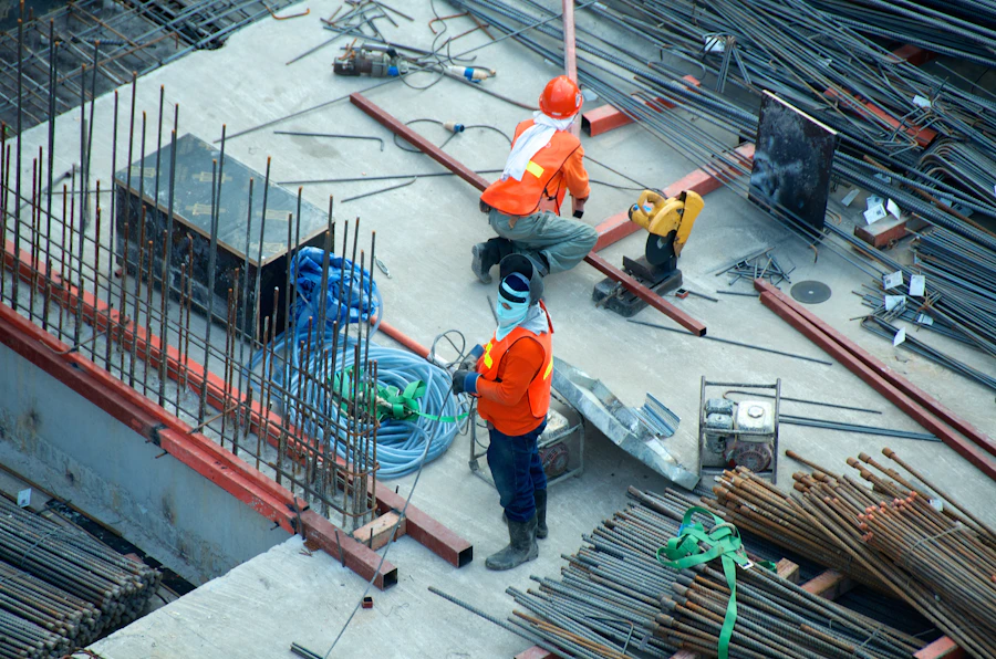
Capture a clearer view of difficult-to-access assets and organise observations for technical review.
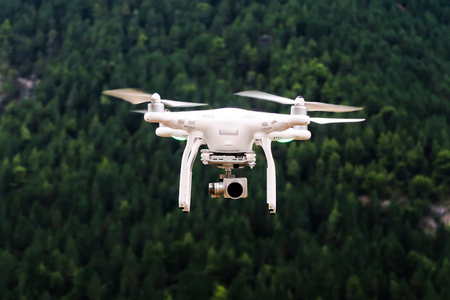
Plan repeatable site observations, documented patrol coverage and clearer operational reporting.

Give properties, developments and destinations a compelling sense of scale and place.

Explore a focused development prototype connecting estate maps, field records and aerial observations.
A clear project journey
Describe the decision, site and people who will use the information.
Define coverage, methods, quality checks and a suitable reporting format.
Receive the agreed outputs with the context your team needs to put them to use.